SIOUX FALLS, S.D. (kelo.com) – The National Weather Service announced a high to very high fire danger today for South Dakota and Iowa. In Sioux Falls, they list the danger as very high and will last into tomorrow.
Southwesterly winds will increase and transition to northwesterly during the afternoon, with gusts of 40 to 50 mph. This in combination with relatively mild temperatures will result in minimum afternoon RH values of 30 to 40 percent – yielding a Very High fire danger for a good portion of the area. Saturday will again see a Very High fire danger. Although winds will not be quite as strong, lower dewpoints will bring afternoon RH values of 25 to 25 percent. A RH, or Relative Humidity, value lower than 45 percent is considered a strong indicator of fire danger.
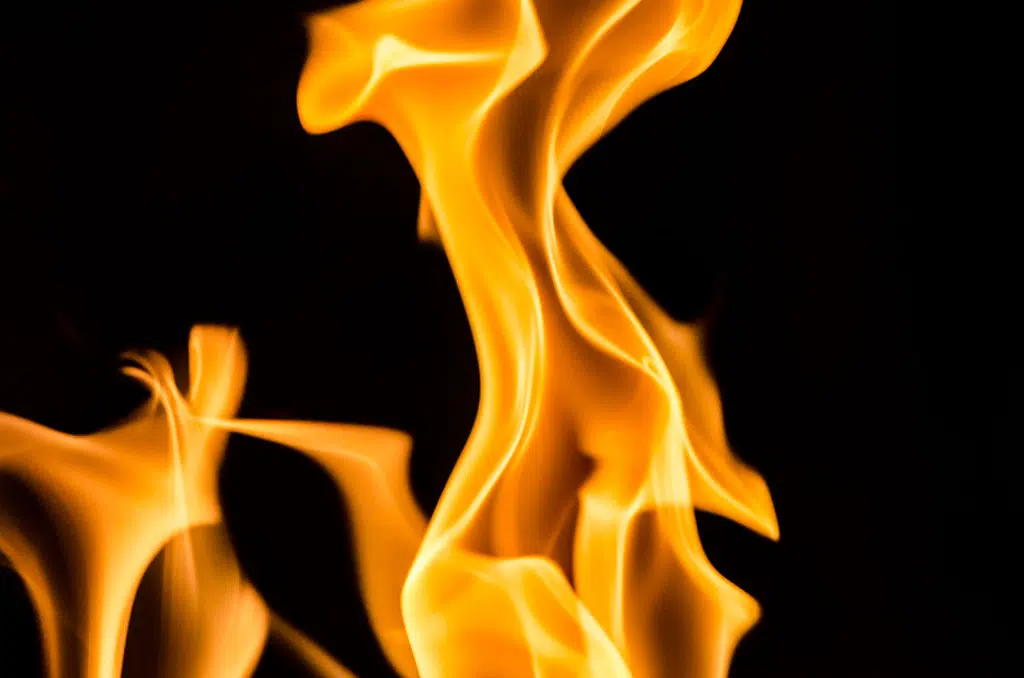
According to the United States Department of Agriculture’s Forest Service, when the fire danger is “very high”, fires will start easily from most causes. The fires will spread rapidly and have a quick increase in intensity, right after ignition. Small fires can quickly become large fires and exhibit extreme fire intensity, such as long-distance spotting and fire whirls. These fires can be difficult to control and will often become much larger and longer-lasting fires.
Sensible precautions are recommended. Lay off on burning your trash, your tires, your bridges or the midnight oil. Its also a good idea to not light campfires, bonfires, cook fires, grease fires or any other fires you can think of. If you’d like more information on what you should and shouldn’t do, visit https://www.fs.usda.gov/.


Comments