KELO Radio radar, 10/12/21.
SIOUX FALLS, S.D. (KELO.com) — The National Weather Service says the higher elevations of the Black Hills, such as Lead and Deadwood, could see 10 to 14 inches of snow plus high winds Tuesday into Wednesday.
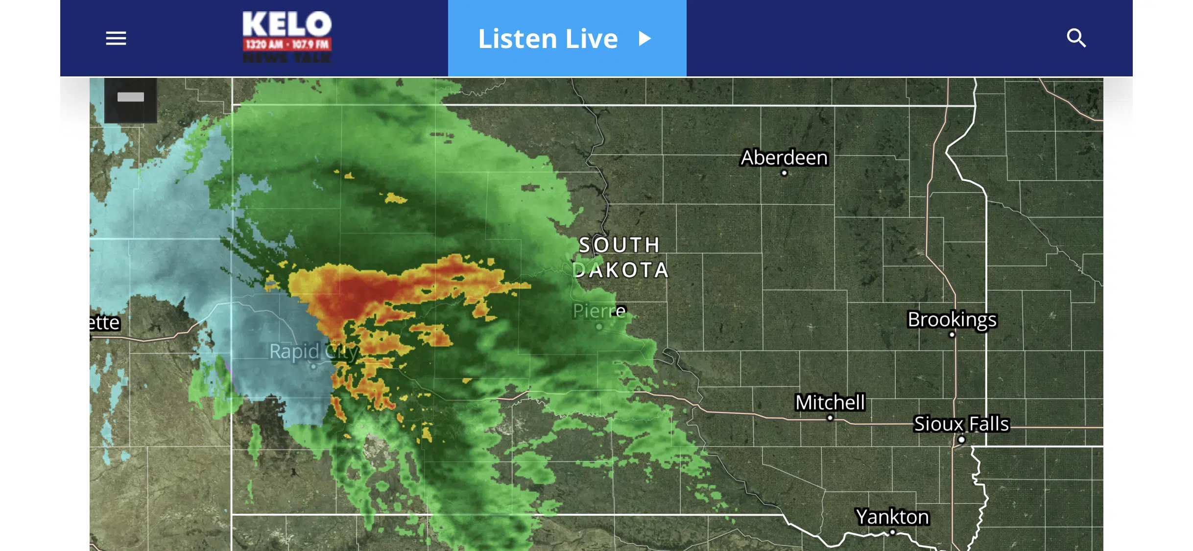
According to KELO Radio’s radar service, a multicolored blob of blue-grey, yellow, red, and green sits over western South Dakota. (See right or click here for live view.)
Areas not getting snow could see one to three inches of rain and winds gusting to 50 miles per hour.
The S.D. Dept. of Transportation has already issued no travel advised for I-90 from the Wyoming state line to Exit 46 near Piedmont.
On the eastern side of South Dakota, the weather prediction is not so dire but also unpleasant.
The NWS and KELOland TV’s forecast team both expect thunderstorms and rain in the KELO Radio listening area Tuesday night into Wednesday. They also say expect wind gusts of 45 miles per hour Tuesday night, with gusts up to 40 mph from Wednesday through Thursday.
Stay tuned to KELO Radio for the latest on this early season winter storm.
Below is a tweet from the Sioux Falls National Weather Service showing how visibility to fallen to nearly zero in the Deadwood area.
Have travel plans to western SD? This storm will make a mess of things through Wednesday. The snow has already started around the Black Hills and adjacent plains. The very strong wind comes Wednesday. pic.twitter.com/Lvrq5j6u1N
— NWS Sioux Falls (@NWSSiouxFalls) October 12, 2021